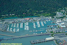
 Seward
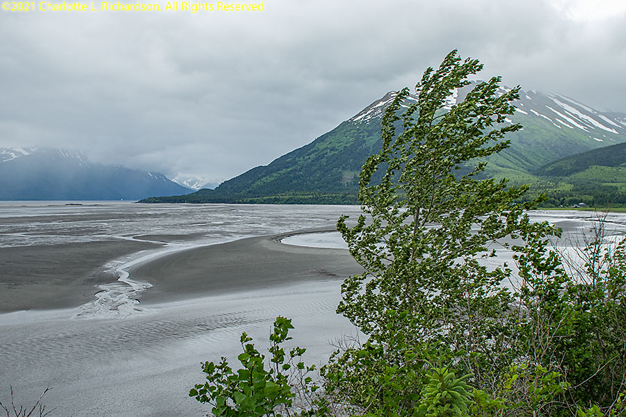
The Kenai Peninsula extends about 150 miles southwest from the Chugach Mountains in south central Alaska. It is surrounded on the west by the Cook Inlet and on the east by Prince William Sound. The Kenai Mountains extend along the southeast coast along the Gulf of Alaska, mostly within Kenai Fjords National Park. The northwest coast is flat and marshy.
Hope:
Hope is a former gold-mining camp on the northern edge of the Kenai Peninsula 87 miles from Anchorage near the mouth of the Resurrection River.
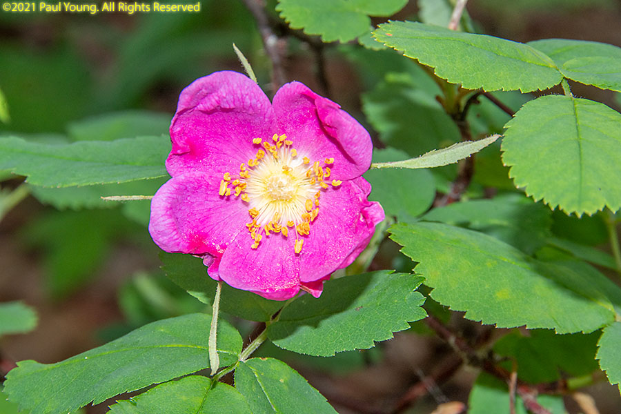
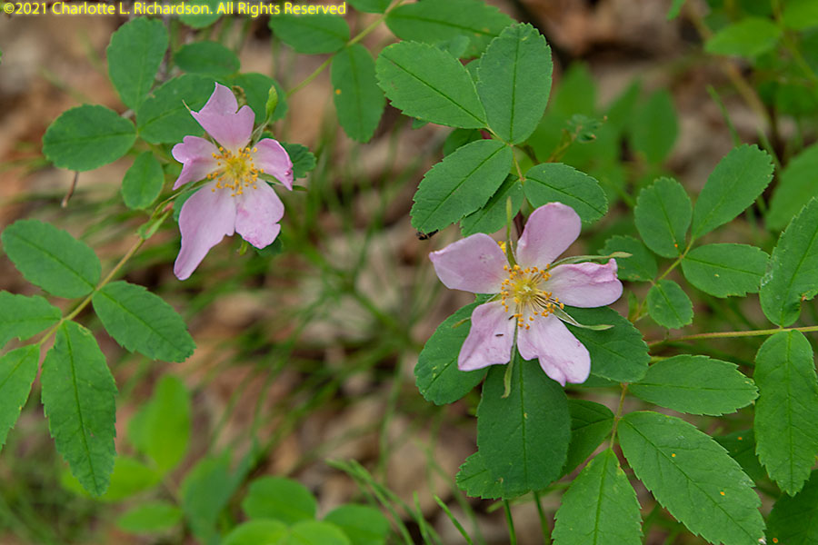
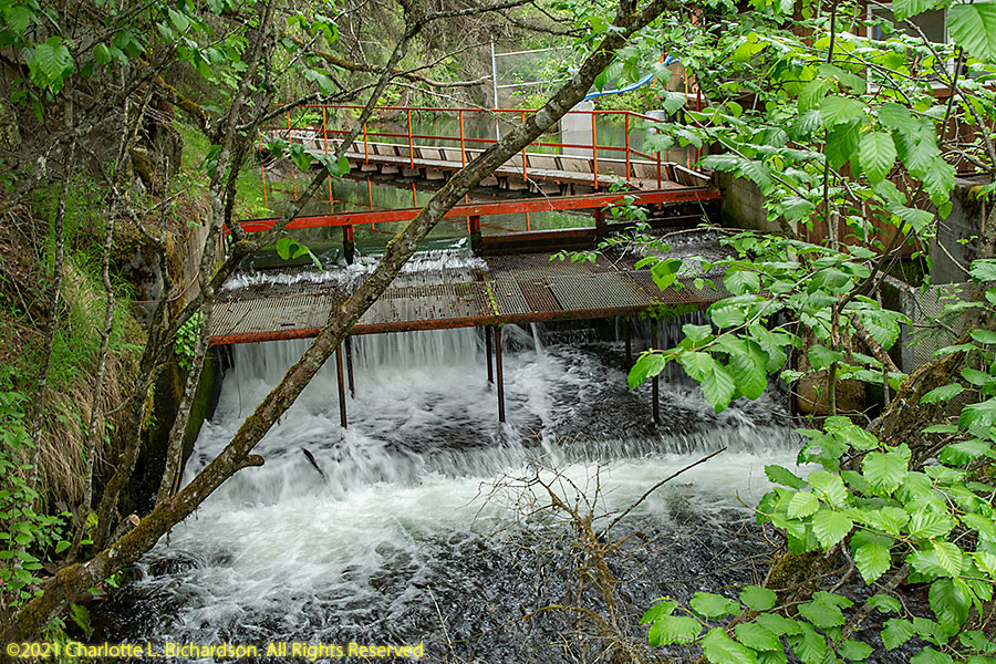
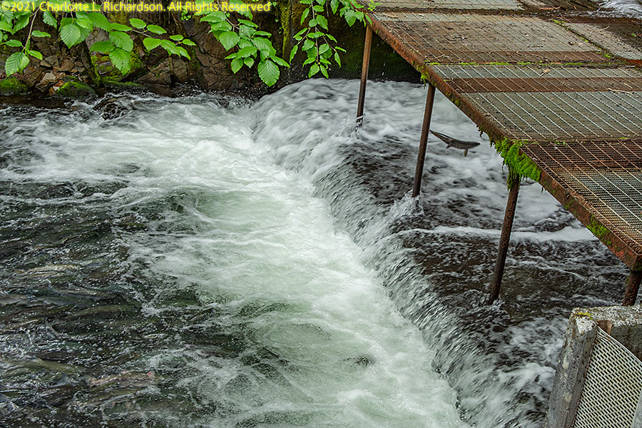
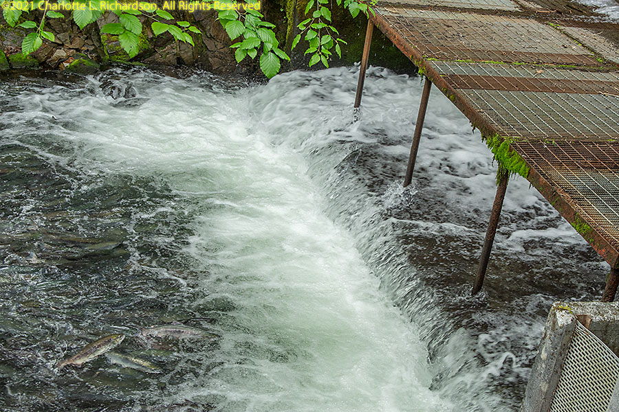
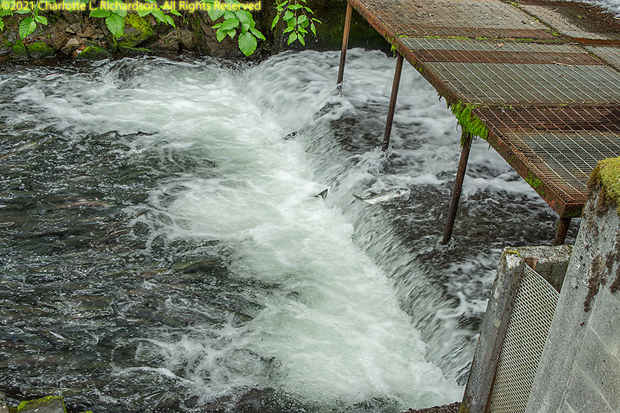
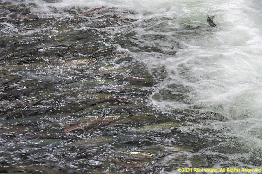
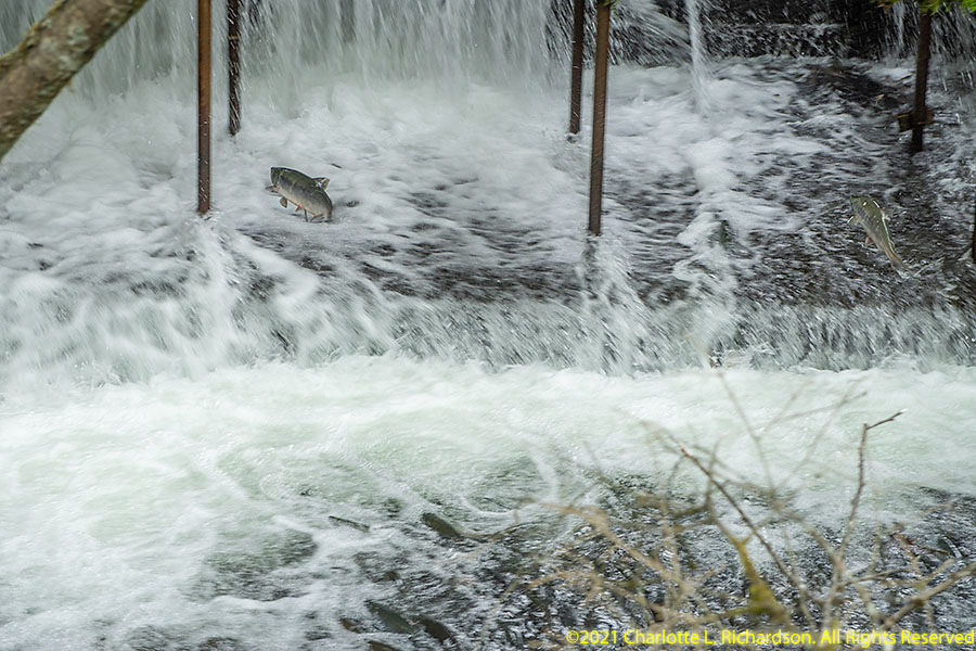
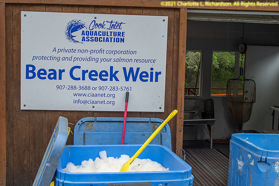
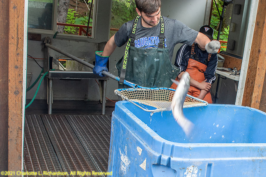
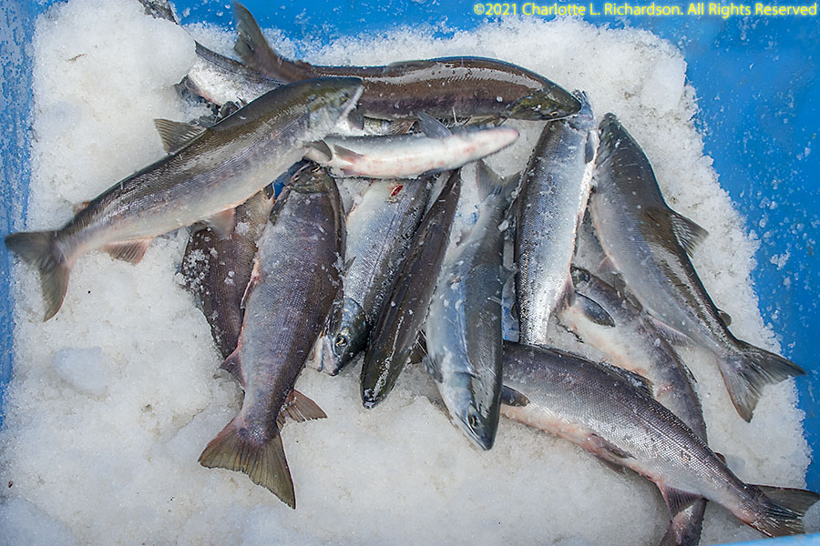
Bear Creek Weir:
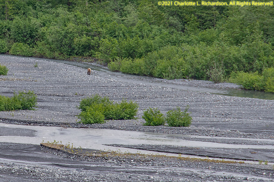
The sockeye salmon were running at Bear Creek just north of Seward.
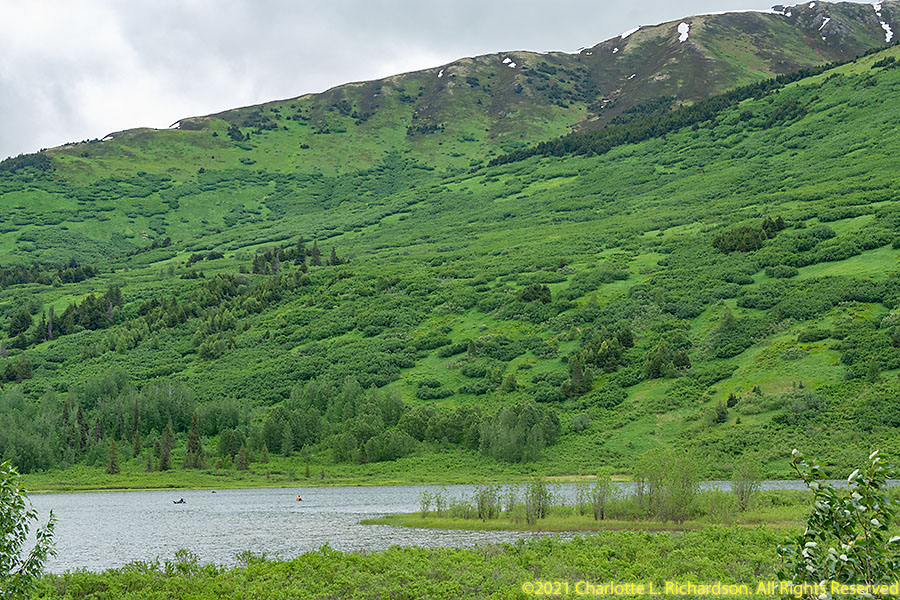
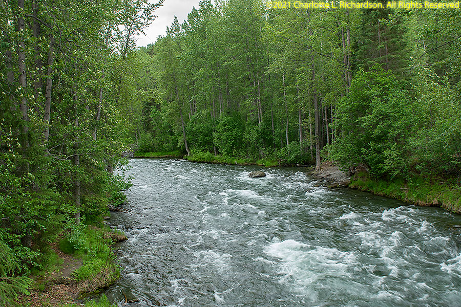
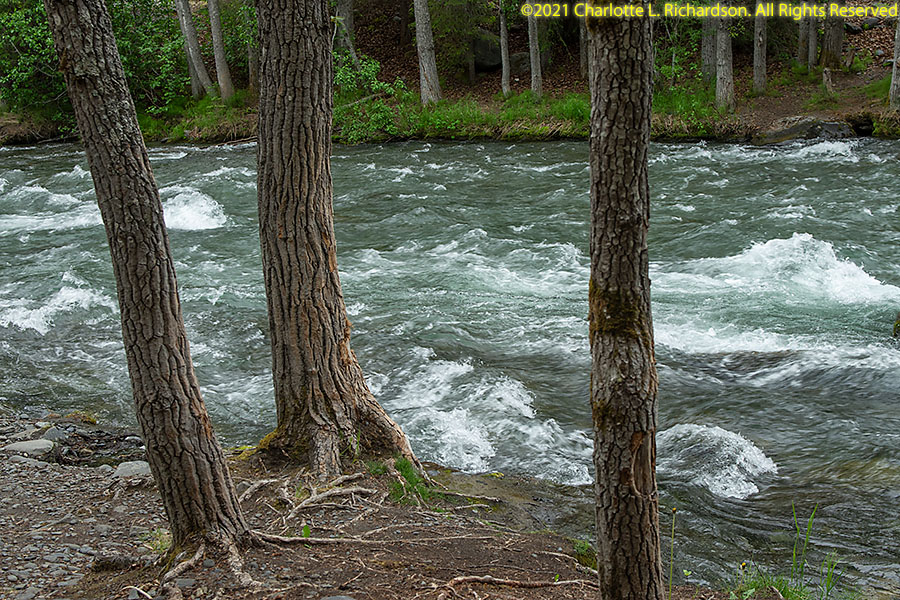
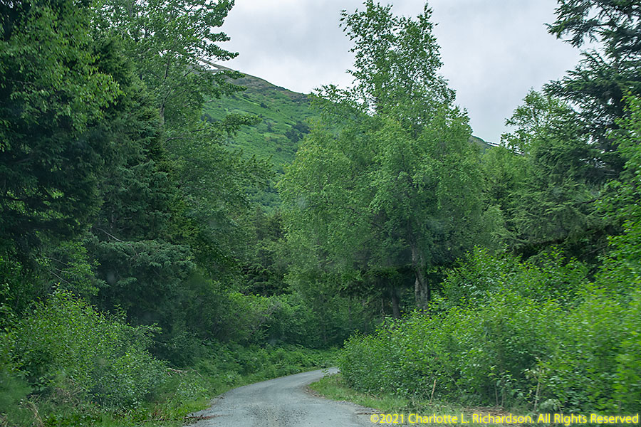
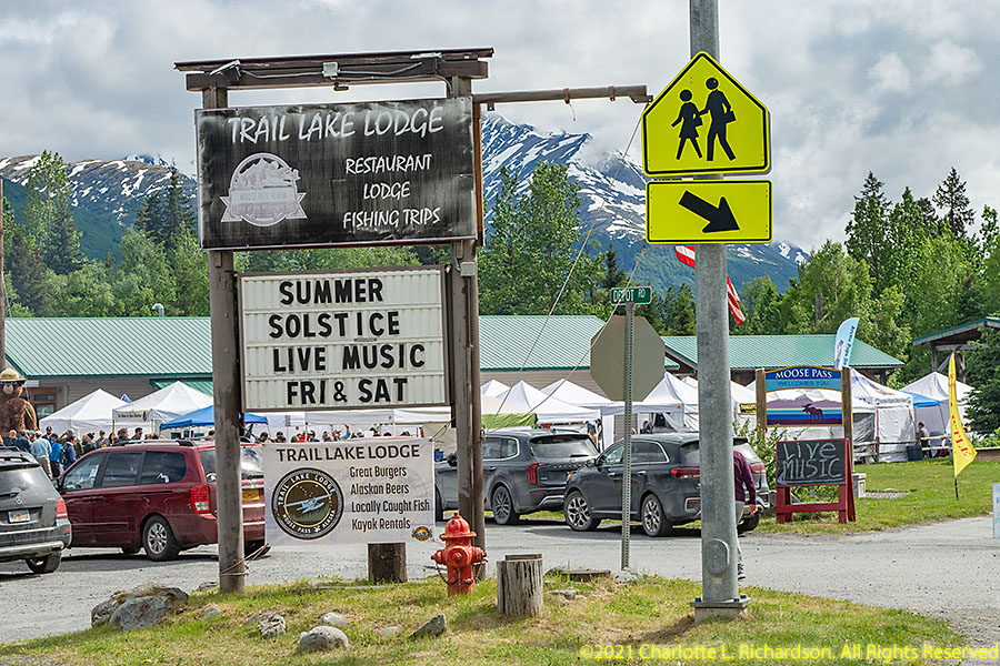
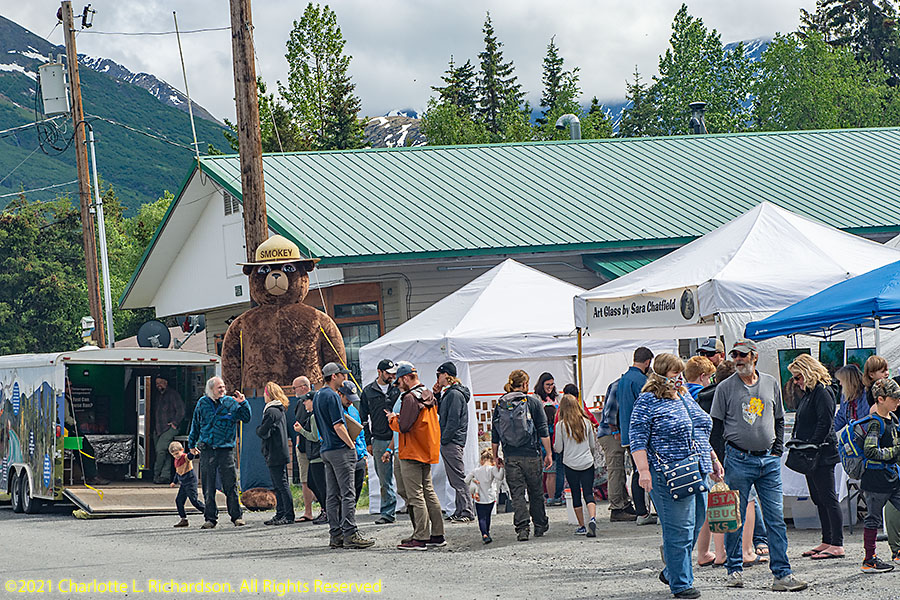
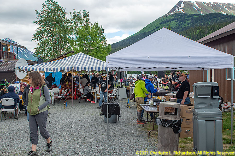
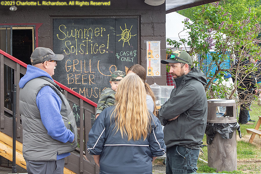
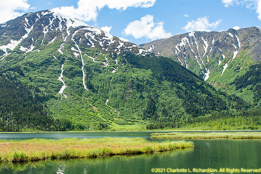
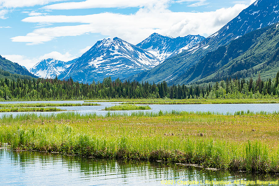
Moose Pass:
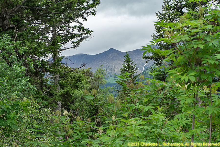
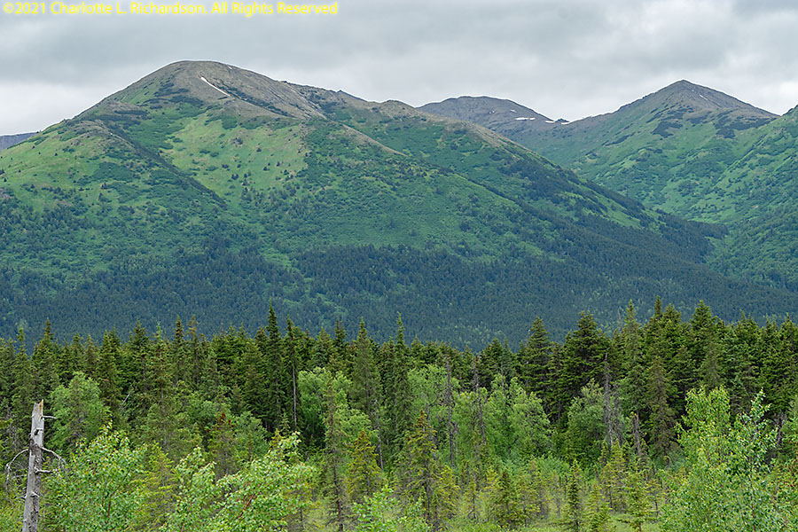
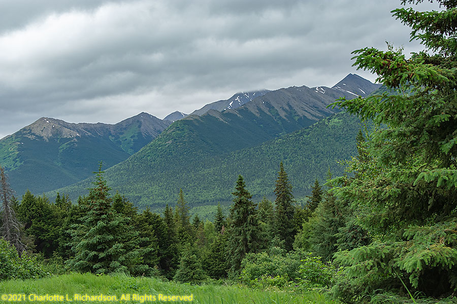
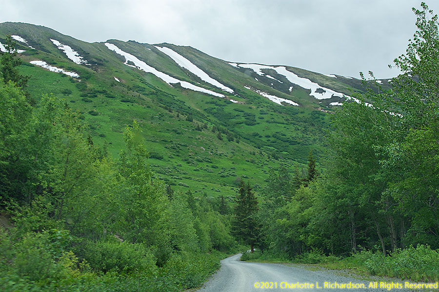
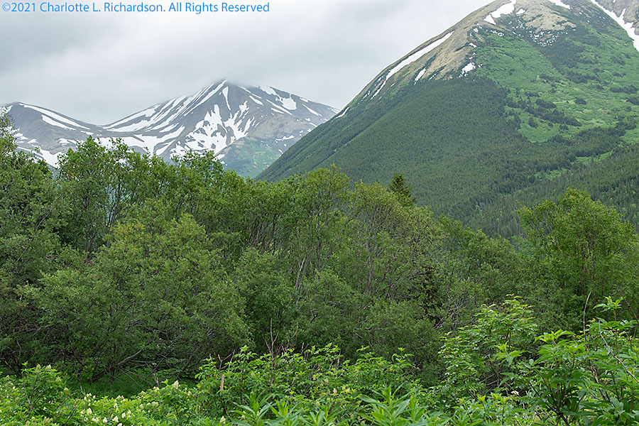
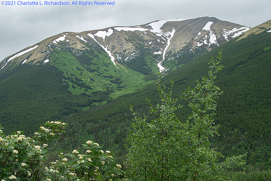
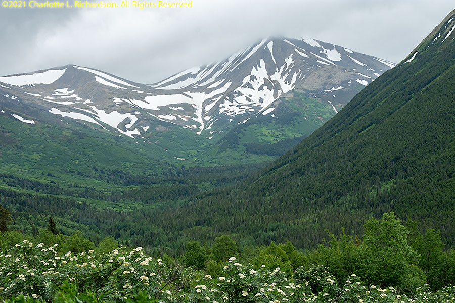
Moose Pass is a village 110 miles south of Anchorage and 30 miles north of Seward in the northern-central Kenai Peninsula, surrounded by the Chugach National Forest.
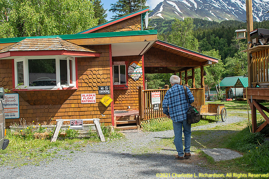
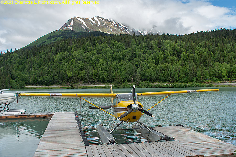
We chartered a floatplane for me to fly for our aerial photography of the ice fields from Alaska Float Ratings in Moose Pass.
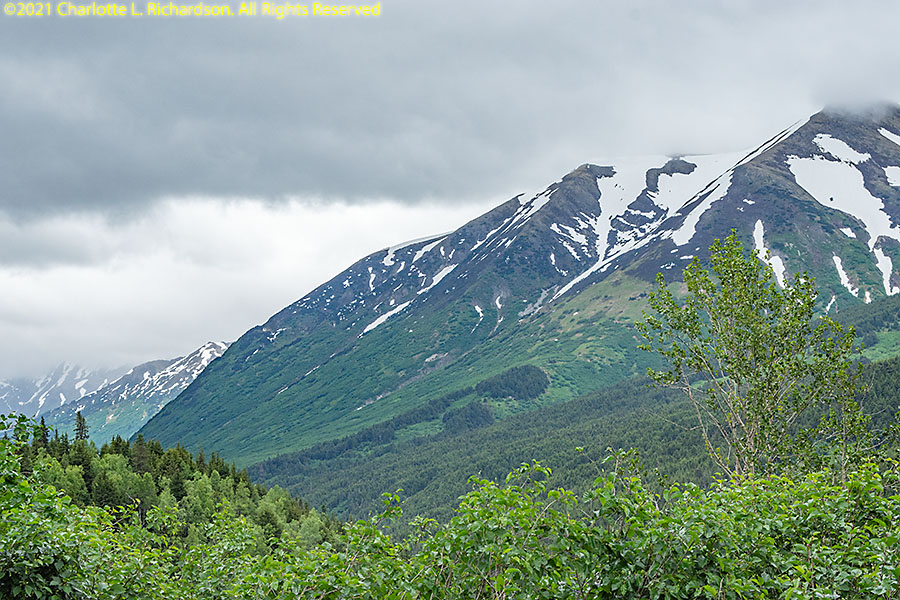
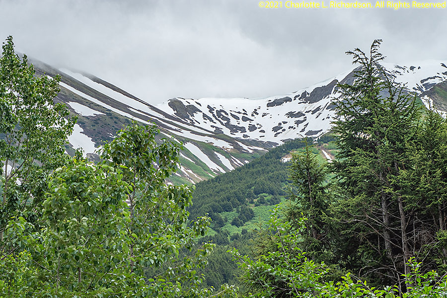
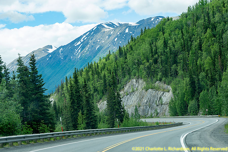
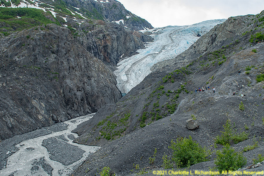
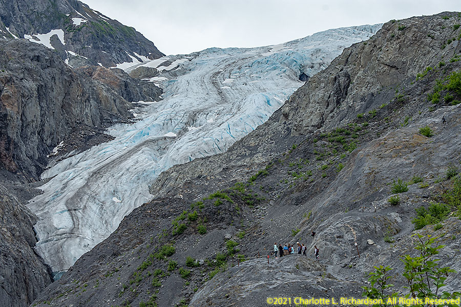
Ice fields:
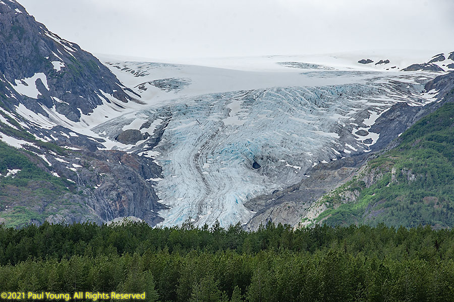
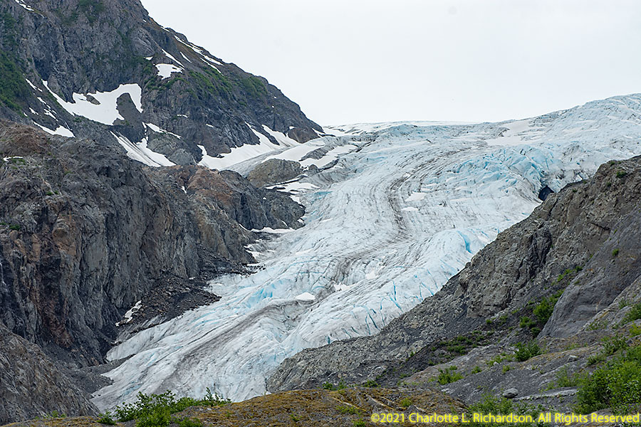
The Sargent and Harding icefields in the east and southeast on the Kenai spawn many glaciers.
Exit Glacier flows from the Harding Ice Field in Kenai Fjords National Park, one of that ice field's smallest glaciers. It is one of the most accessible valley glaciers in Alaska and is rapidly receding. This glacier is the only part of the national park that is accessible by road.

©2021, 2022, 2023 Mermaid Underwater Photographic. All Rights Reserved.
This page sponsored by Mermaid Underwater Photographic. Contact us at mermaid@underwater.org.
Last modified 29 November 2023
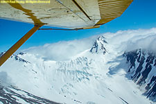 Sargent Ice Field
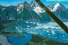 Harding Ice Field